


You guys give up? Or are you thirsty for more?
For the umpteenth time in the last couple weeks, Schuylkill County is set for a round of wintry weather.
Some of us here escaped the wrath of the ice storm on Monday night but we won’t be so lucky with another storm, this one likely to be all snow, starting Thursday and continuing into Friday.
And based on the weather models and forecasts available early Wednesday morning, this snowstorm could grind things to a halt for at least a day.
Another Snowstorm for Schuylkill County Thursday and Friday
As late as Monday morning, forecasters weren’t even sure if the storm later that day and into Tuesday morning would be a pure ice storm or if it would mix with rain. That doesn’t seem to be the case with this snowstorm starting Thursday morning.
National Weather Service predicts the snow will start falling steadily after 5 a.m. Thursday. And once it starts, it’s not likely to stop until some time Friday morning.
As of right now, this looks like a 100% snow event. High temperatures aren’t predicted to break 25 degrees on Thursday. On Friday, temps should get close to the freezing mark.
Let’s take a look at the popular weather models to show what this storm is expected to do.
GFS Model Run for Thursday-Friday Snowstorm in Schuylkill County
The GFS model run from Wednesday morning shows the storm on Thursday morning extending from Tennessee into the Deep South and moving northeast throughout the day. This model shows snow reaching Schuylkill County around dawn on Thursday and continuing into early Friday afternoon.
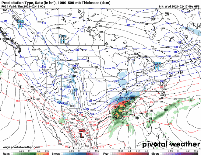
You can see that snowfall at some times over Schuylkill County is moderate to heavy in this GFS model run. Ice and rain stays to our south and east.
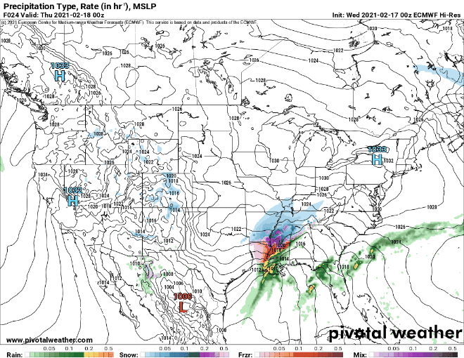
Euro Model Run for Thursday-Friday Snowstorm in Schuylkill County
Here’s a look at the Wednesday morning run of the Euro model showing Thursday through Friday afternoon.
You can see the timing of the storm is the same as in the GFS run, Thursday morning into early Friday.
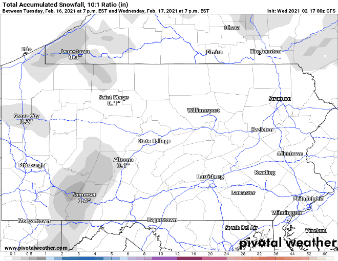
GFS Snow Total Map for Pennsylvania on February 18-19
Now, we’ve heard that tune before, a prolonged snowstorm stretching over the course of 2 days. This can be a recipe for disaster.
But, as things stand right now, snow totals from this prolonged snowstorm will not be as high as the nor’easter earlier this month.
Here’s a look at the GFS snow total map for this Thursday-Friday snowstorm:
The GFS shows heavier snow totals in the southern parts of Schuylkill County, but only slightly. Overall, we can expect anywhere from 6-8 inches of snow from the storm when it wraps up on Friday.
It’s a pretty big storm but it’s a lot better than 18, 19, or 20 inches of snow!
Euro Snow Total Map for Pennsylvania on February 18-19
If you’re into lower snow totals, then maybe you’ll root for the Euro model to be the accurate one for this storm.
This shows slightly less snow from the storm:

National Weather Service Snow Forecast
Right now, National Weather Service predicts Pottsville will get between 4-10 inches of snow from this storm through the end of the day Thursday. The heaviest snow (3-7 inches) should fall during the day with another 1-3 inches of snow on Thursday night. Snow on Friday may not add another inch to the storm total.
Weather model images via Pivotal Weather