


It’s definitely still winter. Snow – even if just a little bit – is still in our 7-day forecast. But you can tell Spring is near with the presence of another word: thunderstorm.
As we approach 60° today and temps drop to near freezing tomorrow night, we’re obviously getting some unstable weather. And unstable weather, especially in the Spring and summer often means the presence of thunderstorms.
We could see a t-storm (well, night owls might) overnight into Wednesday morning. But temps will drop off considerably tomorrow and that’s when we’re likely to see some snow showers.
Schuylkill County 7-day Forecast
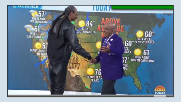
Here’s the latest 7-day forecast for Pottsville from National Weather Service …
Tuesday 🌧️☁️: Brace for showers, mostly in the afternoon, under mostly cloudy skies, with the mercury nudging 59°. The breeze swings from east to south, gusting up to 21 mph, so it might get a bit gusty. There’s a 70% chance of rain, so keeping an umbrella handy would be wise, especially with a bit of rainfall expected.
Tuesday Night 🌧️⛈️: The evening could get wet with showers and potential thunderstorms after 1am. The temperature hovers around 51°, with south winds pushing 14 to 16 mph, gusts possibly reaching 28 mph. Rain is almost a given, with a 90% chance and a forecast of moderate rainfall.
Wednesday 🌧️⛈️💨: A day filled with weather drama—showers, possible thunderstorms in the morning, followed by more showers and then rain in the afternoon. The high sticks around 59°, but it’ll feel brisk with south winds at 17 to 21 mph, gusting up to 33 mph. The likelihood of rain stands strong at 90%, with significant rainfall anticipated.
Wednesday Night 🌧️❄️💨: As night falls, expect rain transitioning to a mix of rain and snow, then possibly just snow after 1am. Temperatures drop to around 25°. It’ll be breezy, with winds shifting from southwest to west, and gusts might hit up to 41 mph. The chance of precipitation remains high at 80%, though snow accumulation is expected to be minimal.
Thursday ❄️☀️💨: The morning could see a slight chance of snow, then clearing up to mostly sunny skies with highs near 38°. The day remains breezy, so a bit of chill in the air.
Thursday Night 🌌: Expect clear skies with lows around 25°.
Friday ☀️: The sun makes a welcomed return, pushing temperatures to a pleasant 46°.
Friday Night 🌧️❄️: Rain and snow are possible again after 1am, under mostly cloudy skies and lows at 37°. There’s a 30% chance of precipitation, so it’s a bit uncertain.
Saturday 🌧️☁️: The day might start with rain before 1pm, then stay mostly cloudy with highs reaching 53°. The chance of rain lingers at 30%.
Saturday Night ☁️: The night keeps to mostly cloudy conditions, with lows at a comfortable 42°.
Sunday ☀️☁️: A mostly sunny day awaits, with temperatures climbing to a delightful 58°.
Sunday Night ☁️: The clouds return, keeping the night mild at around 45°.
Monday ☁️: The week starts with mostly cloudy skies, with highs in the mid-50s.